Converting ESRI .lpk files to Shapefiles for use in QGIS

Converting ESRI .lpk files to Shapefiles  for use in QGIS
ESRI ArcGIS can export compressed geographic files using the ‘LPK’ file extension. ESRI also have a number of datasets available for free download on their website that use this extension, e.g. the popular North America Postal Areas and Zip Codes datasets. Unfortunately the LPK extension is a proprietary extension not directly supported by other tools, ...

New Maptitude Add-ins for Territories and Vehicle Routing

Caliper have just released two new add-ins for Maptitude: Balanced Territories Add-in This add-in automatically creates a new territory layer from an existing area layer. Each territory is created by combining areas (e.g. zip codes) in the area, whilst attempting to create equal sums of a data field. For example, you could create territories with ...

Geospatial Data Verification

Geospatial Data Verification
Previously we looked at visual data verification using Python and Pandas. Here we shall extend this to look at geospatial data verification of the earlier Oklahoma Injection Well Dataset. Gesopatial data can be managed and plotted using Geopandas – a geospatial extension to Pandas. This comes with some basic basemap data, but you will probably ...

High Resolution Printed Maps

In the past we were able to offer high resolution printed MapPoint maps via a partnership with Mattys Consulting. Maps could be ‘wall sized’ whilst retaining full resolution; and supplied as printed paper, laminated, or as a PDF. Mattys Consulting are now able to offer these services again for Microsoft MapPoint, Caliper Maptitude, and other ...

Beware of Choropleth Maps!

Beware of Choropleth Maps!
I was recently experimenting with the new Maptitude data of 2018 Zip Code Business Counts. Free for existing customers, this data lists the total number of businesses by type (NAICS code) for every zip code in the USA. This data represents a huge number of data fields, and it is recommended that users read Caliper’s ...

Caliper release free US Health Data

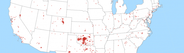
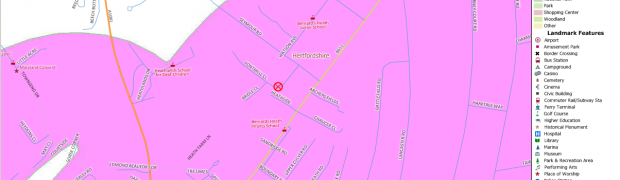
Caliper have just released a data pack of US healthcare providers as a free download for Maptitude and TransCAD. This data pack includes hospitals, health clinics, physicians, other providers (pharmacists, nurses, optometrists, etc), and other features (pharmacies, dental practices, etc). If you really care about taking care of your health, you have to see the ...

Data Quality and Public Trust

I recently published a series of Maptitude maps of earthquakes. A couple of these mapped recent Oklahoma earthquakes against saltwater disposal wells. Much of the public commentary has blamed these earthquakes on hydraulic fracturing (aka “fracking”) by the oil industry. However the earthquakes do not correlate with the fracking in either time or space. Instead ...

Mapping Earthquakes

Maptitude can also be used plot earthquakes, examine patterns in earthquakes, and even look for correlations with other factors such as oil industry activity. Earthquake catalogs from recent years can be downloaded from the US Geological Survey at http://earthquake.usgs.gov/earthquakes/search/ . For the following maps, the data is downloaded as a CSV (comma separated value) file, ...

Mapping the St Albans Sinkhole

Mapping the St Albans Sinkhole
On 1st October, a large sinkhole opened up in St Albans, UK, cutting off an entire cul-de-sac of houses. New sinkholes are very common, but this one quickly became international news due to its photogenic proximity to houses. We think of sinkholes as appearing in places like Florida or the Yorkshire Dales. Why did one ...

Voting Machines in the Florida 2000 Election

This example uses Caliper® Maptitude® to analyze the Florida results of the 2000 US Presidential Election. During the 2000 Presidential Election, the results for Florida came under close scrutiny and argument, with the final result being decided by the courts. Amongst the accusations was the charge that a lot of people in the county of ...