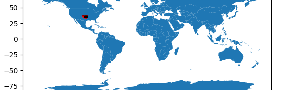
Previously we looked at visual data verification using Python and Pandas. Here we shall extend this to look at geospatial data verification of the earlier Oklahoma Injection Well Dataset. Gesopatial data can be managed and plotted using Geopandas – a geospatial extension to Pandas. This comes with some basic basemap data, but you will probably ...