Data Quality and Public Trust 1

I recently published a series of Maptitude maps of earthquakes. A couple of these mapped recent Oklahoma earthquakes against saltwater disposal wells. Much of the public commentary has blamed these earthquakes on hydraulic fracturing (aka “fracking”) by the oil industry. However the earthquakes do not correlate with the fracking in either time or space. Instead ...

New Maptitude 3d Surfaces Section

I have just added a new section to the Maptitude ‘Howto’ pages over at mapping-tools.com, discussing Maptitude’s 3d surface and landscape options. Here is an example image of Snowdonia, created using Ordnance Survey elevation data combined with Google Maps Satellite imagery: Other examples include Guadalupe Mountains (Texas), and geological overlays of both the Caprock Escarpment ...

Mapping the St Albans Sinkhole 2

Mapping the St Albans Sinkhole
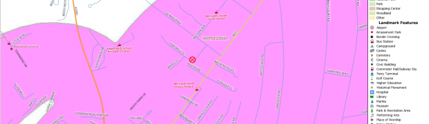
On 1st October, a large sinkhole opened up in St Albans, UK, cutting off an entire cul-de-sac of houses. New sinkholes are very common, but this one quickly became international news due to its photogenic proximity to houses. We think of sinkholes as appearing in places like Florida or the Yorkshire Dales. Why did one ...